Columbus Landing Beach
A calm, shallow beach inside Salt River Bay National Historical Park, on the spot where Columbus's crew landed in 1493.
Columbus Landing Beach is the swimming beach of the national historical park and ecological preserve at Salt River Bay, a sheltered strand on the bay's western arm about twenty minutes west of Christiansted. It is small, it is quiet, and it is unlike every other beach on St. Croix in one respect: the ground under your towel is a National Historic Landmark. This page is the beach-day reference — the sand, the swim, the paddle launch, the park rules, the birds, and the timing — with the deep 1493 story left to our full Salt River history guide, where it belongs.
Where the beach sits
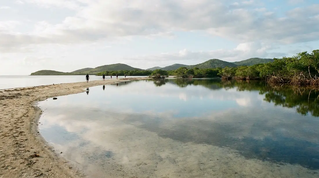
Salt River Bay cuts into the middle of the north shore like a keyhole: a narrow reef-guarded mouth opening into a wide, mangrove-lined estuary fed by the island's main seasonal stream. The beach occupies the western side of that keyhole, a strip of sand below the low headland called Salt River Point, facing east across the water toward the marina and the far shore. Stand on the sand and the whole geography reads at once — the cut in the reef where boats enter, the green wall of mangroves ringing the inner bay, and the open Caribbean beyond the mouth. What you cannot see from the beach is the drama underwater: a short way past the reef line the sea floor falls away into a submarine canyon that drops toward depths measured in hundreds of feet, the feature that draws divers to boats out of the marina. Our Salt River Canyon guide covers that world; from the sand, the canyon is simply the reason the outer water turns dark blue so quickly.
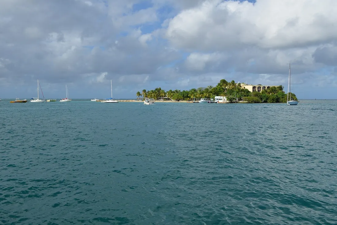
The setting is a working landscape as much as a scenic one. Small boats swing on moorings inside the bay, kayak groups cross toward the mangrove channels, and the marina on the opposite shore sends its dive and tour boats out through the cut. The beach watches all of it at a comfortable distance. For the wider lay of the neighborhood — the marina, the operators, the overlooks — see the Salt River area guide.
The sand
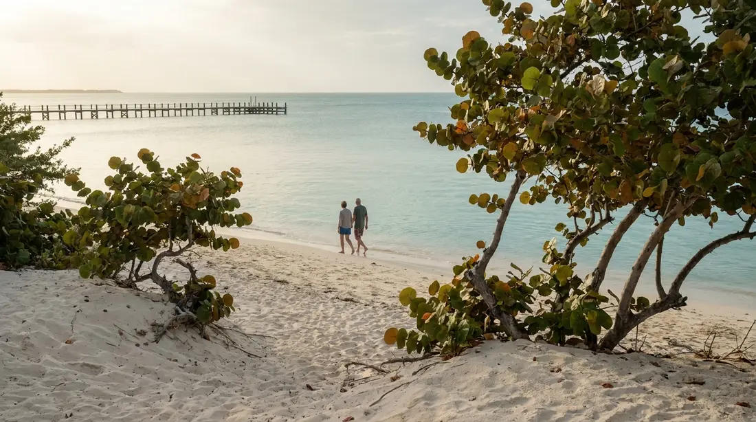
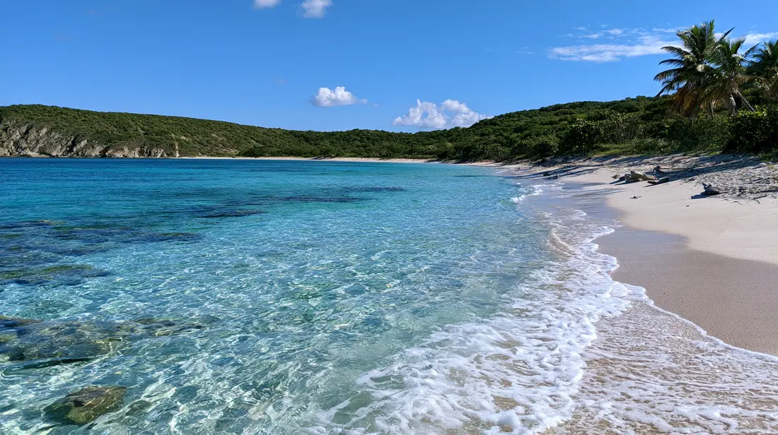
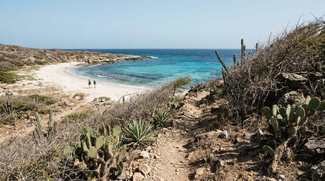
Set expectations correctly, because this is where the beach differs most from the postcards. Columbus Landing is a modest strand: a few hundred feet of tan sand, narrow in places, backed by low scrub and seagrape rather than coconut palms, with the estuary's tannin-tinted water in front of it instead of the swimming-pool turquoise of the west coast. There are no loungers, no bar, no rental desk, and usually no more than a handful of people. Sea debris collects after north swells the way it does on every north-facing shore, and the park does not rake the sand daily the way a resort would. Visitors who arrive expecting Rainbow Beach will wonder why they drove out; visitors who arrive expecting a calm, uncrowded bay beach inside a national park, with picnic shade and history on all sides, get exactly that. Ranked purely as sand, it sits mid-pack on the island — our beach rankings put the scenery crowns elsewhere. Ranked as a place to pass a slow local-style beach day with small children and a paddleboard, it climbs a long way up the list.
A community beach first
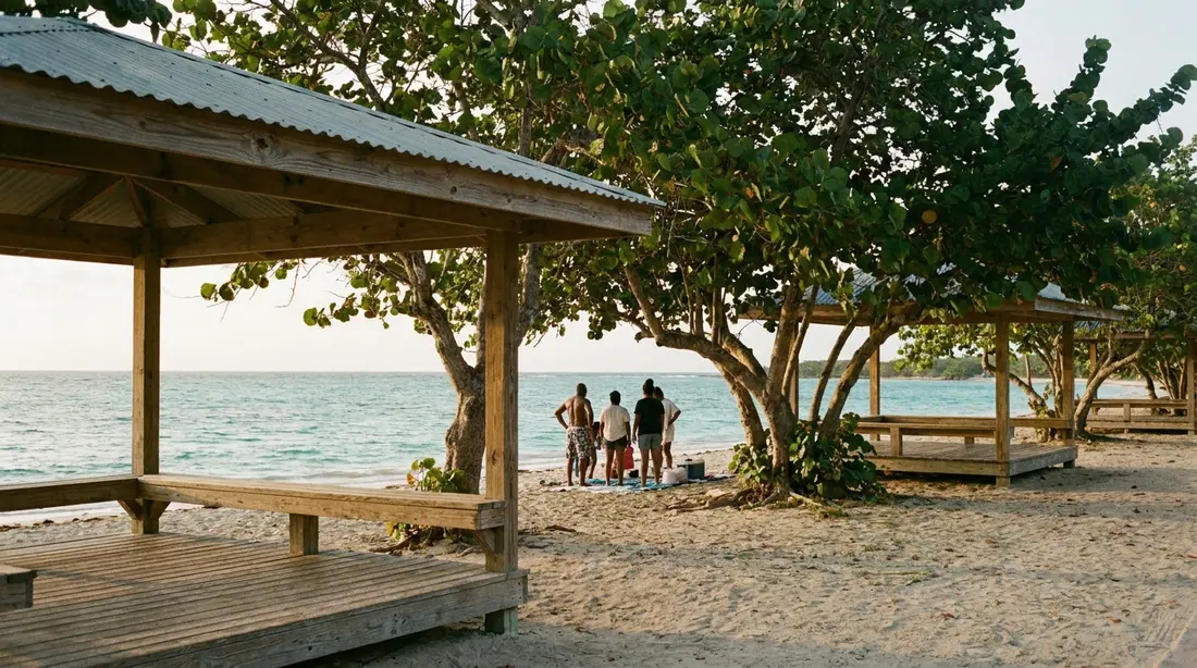
The Park Service describes the landing site as an important cultural resource for community use, and that phrasing matches what you see: this is a beach Crucian families treat as their own. On weekend afternoons the picnic tables fill, charcoal smoke drifts from the grills, music plays at neighborly volume, and three generations wade the shallows together. Local fishermen work the bay's edges early and late. On a weekday morning, by contrast, you will often share the entire beach with nobody, or with a single kayak group mustering at the water's edge. Neither version is better; they are two different beaches that happen to share the same sand. Visitors are welcome at both — bring your own everything, take a table that is free, and match the volume of the day you find. The one etiquette rule worth stating is the one that applies at every local-first beach on St. Croix: this is a neighborhood living room, and guests behave like guests.
The swim
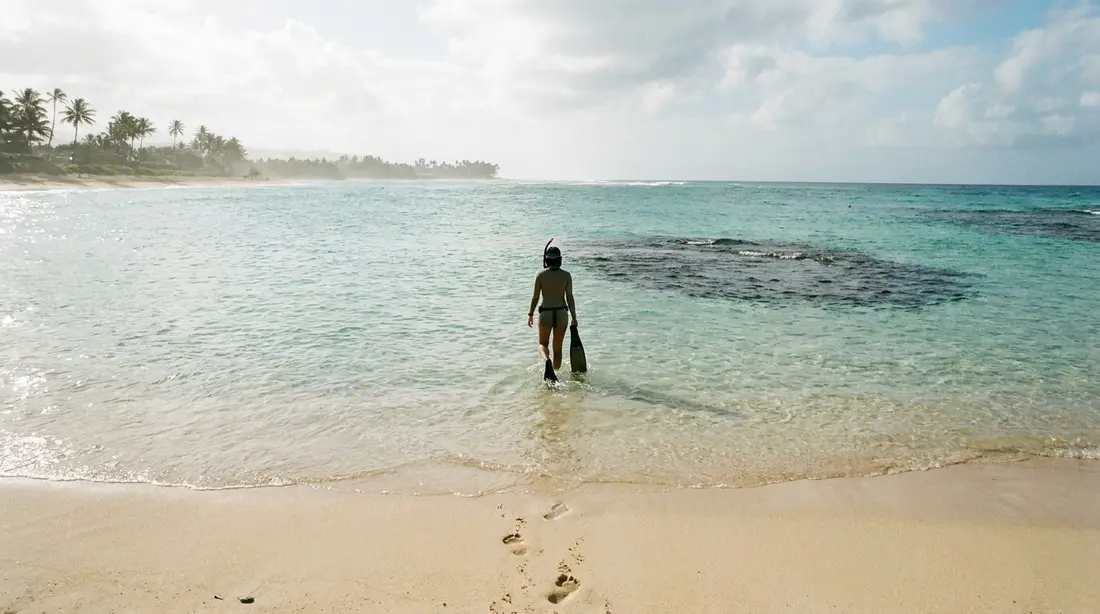
The water is the calmest sort St. Croix offers. The reef at the mouth and the arms of the bay knock down nearly all open-ocean energy before it reaches the beach, so the shoreline here is usually lake-flat when Cane Bay is rolling and the East End is whitecapped. The bottom slopes gently, the shallows run warm, and a small child can wade a long way out with an adult standing relaxed beside them. This is the swim for calm-seekers, toddlers, nervous swimmers, and anyone who wants to read in chest-deep water without being bounced. Among the island's easy-water beaches it sits alongside Chenay Bay, and water shoes improve it: parts of the bottom run to seagrass and soft patches rather than uniform clean sand, and small children in particular are happier with their feet covered.
Now the part the brochures skip: this is estuary water, and it looks like estuary water. The bay collects runoff from the largest watershed on the north shore, so after heavy rain the shallows turn green-brown and stay cloudy for a day or more while the guts drain. Even in dry weather, clarity here never matches the glass of the west coast — mangrove tannins and a soft bottom see to that. None of this makes the water unsafe in itself; the territorial Department of Planning and Natural Resources samples popular beaches weekly for bacteria and turbidity, Columbus Landing is on its St. Croix list, and the beach has met swim standards in the advisories we checked. The sensible habit is the same one locals use: skip the swim for a day or two after a real downpour, and glance at DPNR's current beach advisory if the water looks off. No lifeguard watches here, the standard condition on St. Croix beaches.
Who should swim elsewhere: anyone whose beach day is defined by water clarity. If the picture in your head is white sand under transparent turquoise, drive fifteen minutes west to Cane Bay or across to the west coast, and keep Salt River for the paddle.
Snorkeling, with expectations set
There is snorkeling here, and on the right day it is pleasant — seagrass flats with conch and the occasional ray, small fish along the rocky edges of the point, patch structure toward the reef line. On the wrong day it is a swim through green haze. The variables are recent rain and wind direction, and the difference between the two experiences is total. Treat snorkeling at Columbus Landing as a bonus that calm, dry weather sometimes hands you, never as the reason for the drive. The island's reliable mask-and-fins water — the Cane Bay wall, the Frederiksted pier, the East End bays — is cataloged in the snorkeling guide. One useful role this beach does play: the shallow, flat, sandy-bottomed water is a low-stakes place to fit a first-time snorkeler's gear and practice breathing before graduating to livelier reef.
The paddle launch
This is the beach's strongest practical card. Columbus Landing is the natural put-in for anyone paddling Salt River Bay on their own board or kayak: you park a short walk from the water, carry across firm sand, and step into a knee-deep, current-free shallow with no surf window to time and no boat ramp traffic to dodge. For guests with delivered rental gear or a villa's own board, it is the easiest self-launch on the north shore. From the beach, the mangrove fringe of the western arm is a few minutes' paddle, the estuary opens southward into channels where juvenile fish shadow the roots, and a leisurely circuit of the inner bay fills a morning without ever crossing open water. Wind protection is the best on the island — when the trades have scrubbed every other paddling plan, this bay still works.
Two boundaries keep the paddle sensible. Stay inside the bay unless you know exactly what the cut and the outer reef are doing, because the calm ends abruptly at the mouth. And give the tour groups and moored boats room in the channels; the commercial operators stage from the marina on the far shore, and their routes through the mangroves are the proven ones. Renters who want gear handed to them at the water should book through the marina desks instead — details, prices, and operators are in the daytime kayaking guide and the island-wide paddleboard guide. After dark, this same bay runs its famous show: the water flares pale blue around whatever stirs it, night after night, all year, and the guided trips that see it launch from the marina side. The science, the moon calendar, and the booking advice live in the bio bay guide; the short version is that a morning launch from this beach and a night tour from the marina make a very good double.
A beach inside a national park
Every beach on St. Croix is public up to the vegetation line. This one adds a second layer: it sits inside a unit of the National Park System, on ground archaeologists have been excavating since the 1880s. The flat land behind the sand held a settlement for many centuries before Europe knew the hemisphere existed, and the soil of the point still holds what those centuries left. For a beach visitor the practical meaning is short and absolute — dig nothing, keep nothing. Federal law protects every artifact, and metal detecting and relic hunting are prohibited in national park units; a pottery fragment in the sand gets photographed and left where it lies. Shells and sea glass are ordinary beach finds elsewhere on the island, and here the safe rule is to leave everything, since a beach on an archaeological landmark is the one place a casual pocketful can cross a legal line. The full story of what was found here — including the region's only known ceremonial ball court, uncovered on this very point in the 1920s — is told in our Salt River history guide.
Do not expect a staffed park experience to go with the designation. The visitor contact station on the hill above the beach has been closed since the 2017 hurricanes; information, maps, and rangers live at the Fort Christiansvaern visitor center in Christiansted, and the park phone is 340-773-1460. On the beach itself the federal presence amounts to weathered interpretive signs, which are worth the five minutes they take to read.
The landmark above the sand
Two sentences of history, because the beach page owes you at least that much. In November 1493, a boat party from Columbus's second-voyage fleet came ashore on this spot — the identified beach where a Columbus expedition touched land that is now United States territory, a National Historic Landmark since 1960. The fight that followed with the bay's Kalinago inhabitants stands as the earliest armed Native resistance to European colonization that eyewitnesses set down in writing. Everything deeper — the fifteen centuries of settlement before the fleet, the eyewitness accounts, the fort, the excavations — is in the full Salt River guide, which we consider required reading before or after a swim here.
One piece of that story is physically walkable from the beach. On the rise near the shuttered contact station, a short path through tall grass reaches the triangular earthen banks of Fort Sale, thrown up by English and Dutch settlers in 1641 and 1642 and later held by the French. The embankments read as low grassy ridges rather than walls, and standing on them you look straight down the bay the fort was built to command — the same view, more or less, that the island's early colonial garrisons posted sentries over while St. Croix changed hands among European powers. Wear closed shoes for the grass, give it fifteen minutes, and you have added one of the earliest surviving European earthworks in the hemisphere to a beach day.
Birds at the estuary edge
The beach doubles as the easiest dry-land birding platform on the bay. The mangroves and shoreline of Salt River attract herons, egrets, frigatebirds, and migrating shorebirds, and ornithological surveys credit the estuary as a nesting ground for more than two dozen bird species; least terns nest on the ground near the eastern side of the cut in season, one reason to keep dogs leashed and children out of the scrub over there. From a towel on the sand you can reasonably expect pelicans working the bay, egrets stalking the waterline at first and last light, and frigatebirds hanging high over the mouth. The low ground behind the bay's shore also holds salt-pond habitat of the kind wading birds work across the island, so a slow walk of the vegetation line repays attention as much as the water side does. Bring binoculars if you own them; the mangrove edge a hundred yards away is where the action concentrates, and a paddler drifting quietly along it will see more in twenty minutes than a walker sees in a morning. What lives in, over, and under the roots — and why the mangrove nursery matters to every reef fish on the north shore — is covered in the mangrove guide and the island-wide wildlife guide.
Facilities and the road in
The facility list is short but real, and it beats most St. Croix beaches: picnic tables, charcoal grills, and public restrooms, maintained to a public-park standard that varies — carry hand sanitizer and expect basic. There is no food, no drinking water, no gear rental, no shower, and no shop of any kind at the beach; the nearest provisions are back toward Christiansted, so bring everything, including more water than you think the day needs, and pack every scrap back out. Shade exists along the vegetation line and at the tables but is thin on the sand itself, which argues for a beach umbrella and real sunscreen discipline — reef-safe only, as everywhere on the island, because the seagrass and mangrove nursery in front of you is exactly the habitat sunscreen chemistry damages first. One more estuary reality: still water and mangroves mean mosquitoes and no-see-ums can show up when the breeze drops, most reliably around dawn and dusk, so repellent belongs in the bag even though a windy midday may never need it.
The short packing list that makes the beach work:
- More drinking water than the group thinks it needs, plus a stocked cooler — nothing is sold here.
- Umbrella or pop-up shade, and reef-safe sunscreen.
- Water shoes for the seagrass patches, and insect repellent for the calm hours.
- Charcoal and lighter if the grills are part of the plan; tables and grills go to whoever arrives first.
- Binoculars for the mangrove edge, and closed shoes if the Fort Sale path is on the agenda.
- A trash bag — everything carried in leaves with you.
Access is by a short unpaved spur off the north shore roads, rutted and potholed but passable in an ordinary rental car taken slowly; the same dirt track serves the overlook and the old contact station on the hill. Parking is informal and free near the sand. Entry costs nothing and no reservation applies — the park is day-use, so treat sunrise to sunset as the operating window and plan to be out by dark unless you are on a booked night kayak tour across the bay. Cell coverage is ordinary here rather than absent, but do not stake a plan on streaming video from the beach.
When to come
Morning is the beach's best self. The bay sits glassy in the first hours, the light lands on the mangroves instead of in your eyes, the birds are working, and a paddler gets the calmest water of the day before the trades fill in around midday. Weekday mornings add near-solitude. Weekend afternoons bring the cookout scene, which is its own good version of the place if company and grill smoke suit your day. Late afternoon runs quieter again, and the fort walk is kindest then, with the heat off the grass. Cruise-ship schedules, which reshape the west coast's beaches on port days, barely register here — ship excursions come to this bay for kayaks, so the sand itself stays local on even the busiest port mornings.
Season changes the picture less here than anywhere on the north shore, because the inner bay shrugs off most of what the ocean does. Winter's long-period swells that close out Cane Bay mostly spend themselves on the reef at the mouth — you will see white water breaking out there while the shoreline in front of you stays flat — though the outer bay gets lumpy enough that paddlers should hold to the inner channels on big-swell days. The wetter months of late summer and fall bring the after-rain murk more often, so build in the day-or-two clarity lag. The island's month-by-month weather logic is in the weather guide.
Matching the visit to the day
| Visit type | Conditions that suit it | Best timing |
|---|---|---|
| Toddler and easy-swimmer beach day | Any dry spell; water flat almost regardless of wind | Weekday morning for quiet; leave a rain-murk buffer |
| Own-gear kayak or SUP launch | Calm to moderate trades; inner bay works even when windy | First two hours after sunrise for glass |
| Family cookout at the tables | Any; grills and tables are first-come | Weekend midday, in step with the local scene |
| Snorkel practice for beginners | Several dry days, light wind; judge clarity from shore | Mid-morning, sun high enough to light the bottom |
| History walk: signs, overlook, Fort Sale banks | Any; closed shoes for the grass path | Late afternoon, heat easing, low light on the earthworks |
| Birding the mangrove edge | Calm water helps; after-rain days are fine | First and last light; bring binoculars |
Building the rest of the day
Columbus Landing is a half-day place, and that is a feature: it anchors the island's best half-day geography. The classic pairing runs west along the coast road: history and a swim here through late morning, then Cane Bay for lunch, reef snorkeling, and a beach bar afternoon, with Davis Bay as the quieter alternate — the whole north shore unrolls in one direction from here. Ambitious days extend to the Annaly Bay tide pools beyond Carambola; the full circuit logic is in the island driving guide. The strongest same-bay combination needs no driving at all beyond the return trip: beach and paddle here by day, then back to the marina side after dark for the glowing-water kayak tour. And travelers who came for the history should bracket the beach with Christiansted's forts and museums, which hold the Danish half of the story and the park's actual visitor center.
Questions guests ask
Is Columbus Landing Beach good for small children?
For the swim itself, it is one of the better choices on the island: protected, shallow, gently sloped, and almost never rough, with picnic tables and restrooms behind the sand. The trade-offs are the ones this page has been candid about — cloudy water after rain, no lifeguard, no food or rentals, and thin shade, so you are packing in the whole day's support system. Families who want the same calm water with clearer snorkeling and a concession nearby usually land on Chenay Bay on the East End; families who want quiet, space, and a paddle-friendly launch tend to prefer it here.
Is this the same beach as Salt River Beach by the marina?
No, and the two get confused constantly because they share one bay. Columbus Landing Beach is the strand on the bay's western side, below Salt River Point, inside the co-managed park land — the swimming-and-picnic beach this page covers. The shoreline by Salt River Marina, on the bay's other arm, is where the kayak operators, the dive shop, and the tour boats stage; some listings call the sand there Salt River Beach. If your plan is a booked tour, navigate to the marina; if your plan is a towel, a grill, or your own board, navigate to Columbus Landing. Driving between the two means going back out to the main road and around the bay.
Can we see the bay glow from this beach at night?
Plan on no. The famous light show happens out in the bay's dark interior water and reveals itself around movement — a paddle stroke, a hull wake — which is why it is experienced from guided kayaks rather than from shore, and the operators launch from the marina side. The park is also a day-use site, so lingering on the beach after dark falls outside the rules as well as outside the experience. Book the night tour through the bio bay guide's operators, pick a dark-moon date, and keep the beach for daylight.
Does it cost anything, and what are the hours?
Entry is free, with no gate, no reservation, and no parking fee. The park operates as a day-use site, so sunrise to sunset is the working rule, matching the posted hours for the trails and the Well Tower elsewhere in the park. There is rarely staff on site; the visitor center function lives in Christiansted at Fort Christiansvaern, and the park answers 340-773-1460 during business hours. Night access belongs to the guided bioluminescence tours, which operate from the marina side of the bay under their own arrangements.
Can we launch our own kayak or paddleboard from the beach?
Yes, and it is the best self-launch on the north shore: park near the sand, carry a short distance, and enter knee-deep flat water with no surf timing involved. Keep the paddle inside the bay unless you have real information about conditions at the mouth, stay clear of tour groups and moored boats in the mangrove channels, and be back before dark. If you would rather rent at the water, the desks are across the bay at the marina; the daytime kayaking guide lists operators, prices at last check, and routes.
Why is the water sometimes cloudy?
Because the beach fronts an estuary. Salt River Bay drains the biggest watershed on this side of the island, and after heavy rain the runoff turns the shallows green-brown for a day or more; mangrove tannins keep even fair-weather water a shade darker than the west coast's. Cloudy is the normal state of a living estuary rather than a warning sign in itself, and DPNR's weekly territorial beach sampling — which includes Columbus Landing — is the authoritative check if you want one. The practical rule: give the bay a day or two after a downpour, and spend that day on the west coast instead.
Can we keep shells, sea glass, or anything else we find?
Treat this beach as a take-photographs-only zone. It sits inside a national park unit on a National Historic Landmark, and federal law flatly prohibits digging, metal detecting, and removing artifacts; centuries of settlement mean worked stone, pottery, and shell tools do surface here. Since a casual beachcomber cannot reliably tell a plain shell from a midden shell, the clean rule is to pocket nothing at all. If you find something that looks humanly made, photograph it, note where it lies, leave it, and report it through the park's Christiansted visitor center.
Is there anywhere to buy food or rent gear at the beach?
No. There is no bar, restaurant, shop, or rental desk at Columbus Landing, and nothing walkable nearby; grills and tables are provided, provisions are not. Stock a cooler in Christiansted on the way out, carry ample water, and pack all trash back out with you. The nearest rental gear is at the Salt River Marina desks across the bay, and the nearest full beach-service scene — bar, food, rentals on the sand — is Cane Bay, fifteen minutes further west, which is exactly why the two beaches pair so naturally in one day.
How does it compare with Cane Bay for a beach day?
They solve different problems. Cane Bay has the clear water, the wall snorkeling, the dive shops, and the food, and it earns its crowds; Columbus Landing has the calm, the space, the launchable flat water, the birds, and the landmark ground, with zero services. Rough sorting: clear-water snorkeling and a lively afternoon, Cane Bay; toddlers, paddleboards, picnics, and quiet, Columbus Landing; the best answer most days is the morning here and the afternoon there, since they sit fifteen minutes apart on the same coast road.
Staying near Salt River
Most of our homes sit on the Christiansted side of the island, which puts Columbus Landing about twenty minutes away — close enough for a spontaneous calm-water morning whenever the east side is windy. Guests at our East End villas reach it by the shore road through town, and several homes in the beachfront collection keep kayaks or paddleboards on hand that travel well to this launch. If a Salt River day is on your list — beach morning, history walk, night glow tour — tell us your dates when you book and we will help sequence it around the moon and the weather. Every home we manage is on the villas page.
Sources
Written from official and first-party sources, checked August 2026. Hours, prices and event dates change — confirm before you go.
In this guide
Stay nearby
Private oceanfront on the East End with a sandy, swimmable beach, pool, outdoor kitchen and a separate guest cottage. Sleeps twelve.
 The Cerulean5 bd · 5 ba · sleeps 12 · Christiansted
More in Beaches
Sources
10 references, listed in full at the end of this guide — official park, refuge, tourism-board and business sources, checked August 2026.