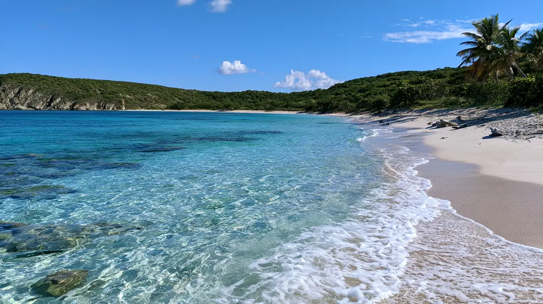
The Best Beaches on St. Croix
From Cane Bay's wall to Sandy Point's two empty miles: how St. Croix's beaches differ, and which one fits the day you're planning.
St. Croix has more named beaches than most visitors have days, and they are not interchangeable. The west coast is calm and faces the sunset, the north shore fronts the reef and the famous wall, the East End trades bars and bathrooms for solitude and the first sunrise in the United States, and the south shore keeps the long, wild strands. This page is the full catalog, coast by coast: how to reach each beach, where to park, what facilities exist, what the bottom is like, and who each one suits. Nearly every major beach here also has its own detailed guide, linked as you go.
How the trade winds sort the coasts
The island runs about 22 miles east to west and roughly 7 north to south, and that east-west line decides almost everything about its beaches. On most days of the year the trades arrive out of the east, which leaves the west end in the island's lee: flat water, easy swimming, and the sun going down over open sea. The north shore faces deeper water, with reef close to shore and a drop-off that falls toward the Puerto Rico Trench, so it is where snorkelers and divers go; the water there is a little livelier once the trades fill in after lunch, and winter swell reaches it first. Dry, breezy and largely undeveloped, the East End holds the hike-in bays and Point Udall, the easternmost point of the country. The south shore takes the wind side of the island head-on and keeps the long walking beaches.
Distances stay small. A twenty-minute drive moves you between coasts, and the longest beach commute on the island, Christiansted to Frederiksted, runs about 40 minutes. Rideshare does not exist here, no Uber, no Lyft, so every entry below assumes a rental car; driving happens on the left side, in normal left-hand-drive vehicles. Mornings are calmer than afternoons on every coast, because the trades strengthen through the day.
West coast beaches
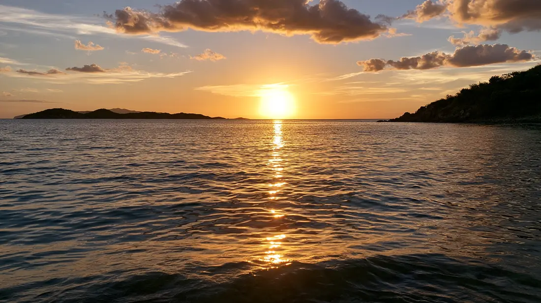
The leeward coast, from La Grange down past Frederiksted to Sandy Point. This is the island's swimming water and its only sunset-over-the-sea shoreline, and it holds most of the beaches with services.
Rainbow Beach
The west end's social beach, just north of Frederiksted on Route 63. Access is a straight walk from an easy sand parking area. This is the rare St. Croix beach with full services: West End Water Sports sets up right on the beach renting jet skis, kayaks, paddleboards, snorkel sets and chairs, while Rhythms, a beach bar approaching three decades here, covers food, drinks and live music nights. The sand is soft and white, the bottom is sand with a modest patch of reef, and the water is generally flat because this is the lee side. Snorkeling is gentle and suits first-timers. Crowds build on weekend afternoons and cruise-ship days; weekday mornings are quiet. Full detail in the Rainbow Beach guide.
Frederiksted Beach
The town strand, and the easiest sand from a parked car on the island: street and lot parking sit right behind it, with Fort Frederik, cafes and restaurants at your back. Calm west-coast water over a sandy bottom, and the island's known sea glass hunting ground in the wash line. Off the beach's north end, the pier pilings hold a celebrated snorkel: seahorses, octopus and frogfish live among the sponge-covered columns. Facilities are the town's own; no beach concession needed. The crowd pattern is binary: full when a cruise ship is on the pier, near-empty when it leaves, so check the port schedule. See the Frederiksted Beach guide.
Dorsch Beach
South of Frederiksted past the fish market, running along the Sand Castle on the Beach property. Roadside parking, then sand. Dorsch has what few St. Croix beaches offer: real shade, from palms and sea grapes, over notably soft sand. The bottom is sand, the water is west-coast flat, and this is a swimming beach more than a snorkeling one. The Beach Side Cafe at Sand Castle serves on an oceanfront terrace beside it. Weekdays can feel close to private; weekends bring modest local crowds. The quiet counterpart to Rainbow, covered in the Dorsch Beach guide.
La Grange
The stretch of lee-side sand just north of Frederiksted town, before Rainbow. Roadside pull-offs, no facilities, sand bottom, calm water. It works as the overflow answer when a cruise day fills the town beach and Rainbow: same flat water, fewer people, nothing to buy. Bring everything.
Butler Bay
Farther north up Route 63, past Sprat Hall. The shoreline here is narrow and mixes sand with rock, and the reason people come is under the surface: the Butler Bay wrecks, a cluster of intentionally sunk ships that make up the island's wreck-diving site, lie offshore. The beach itself is mostly a diver's entry and a quiet picnic stop rather than a swimming destination. No facilities; park off the road. The wrecks are covered in our diving pages.
Sandy Point National Wildlife Refuge
Two miles of wide, empty white sand run along the island's southwest tip: the longest beach on St. Croix, and the biggest leatherback sea turtle nesting ground anywhere under American jurisdiction. Because this is federal refuge land, the access rules are the strictest on the island: weekend days only, 10 in the morning until 4 in the afternoon, September 1 until March 31, with the refuge shut completely between April 1 and August 31 for nesting season. Admission costs nothing, facilities do not exist, and the last stretch of road is unpaved. The bottom shelves gently into water that is usually calm, and reef is essentially absent; what draws people is mile after mile of sand with nothing built on any of it. Film fame attached itself here too: the closing scene of The Shawshank Redemption is widely identified with this beach. Rules, turtle season and directions in the Sandy Point guide.
Monk's Bath and Northside Valley
On the island's northwest corner, past the end of the west-coast beach run, the shoreline turns rocky and the named stops are tidal pools rather than strands. Monk's Bath is the best known. Calm-sea days only, and treat the rocks with respect; this corner of the coast is for wading and looking, and only in settled conditions.
North shore beaches
Route 80 and the coast east of it, from Davis Bay to Christiansted's edge. Reef close to shore, the wall offshore, big green hills behind. Calmest in summer and on winter mornings before the wind; winter swell can stir the whole shore for days at a time.
Cane Bay
The north shore's hub, on Route 80 roughly midway between Christiansted and the west end, about 25 to 30 minutes from either. Parking is along the road, and it fills by mid-morning on fine weekends. A curve of tan sand backed by sea grapes, with shade only where you make it. The bottom goes from sand to living reef fast, which is the point: parrotfish, turtles and coral heads sit close in, and the Cane Bay Wall starts about 100 yards out, dropping from around 40 feet toward depths beyond 13,000. Two dive shops sit across the road, and The Landing Beach Bar feeds you on the sand. The best shore snorkel on the island, best before lunch. Full detail in the Cane Bay guide.
Davis Bay
Beside the Carambola resort, west of Cane Bay, also called Carambola Beach. Dramatic setting, with the island's steepest green hills coming down close to the water. Two reefs, one shallow and one deep, split the snorkeling by ability: beginners work the inner reef on calm mornings, stronger swimmers head out. More surf than the west coast when the wind is up. Parking near the resort; no public beach services. The Annaly Bay tide-pool trail starts at Carambola for anyone pairing a hike with the swim. See the Davis Bay guide.
North Star Bay
Between Davis Bay and Cane Bay, under the same steep shoreline. Known mainly to divers as the entry for the North Star section of the wall; the beach itself is small, mixes sand and stone, and has no facilities. On calm days it is a quiet alternative to Cane Bay's roadside scene, a few minutes away.
Pelican Cove
Also called Cormorant Beach, a short drive west of Christiansted. A long, palm-lined stretch of sand fronting two hotels and a condominium complex, with public access alongside. The palms give genuine natural shade, which is scarce on this island. Parts of the shoreline are rocky, there are swimmable sandy sections, and a stretch of reef offshore gives decent snorkeling; currents can run here, so swim inside your ability. Facilities belong to the properties behind the beach. Quiet most days.
Long Reef
The strip of shoreline between the Mill Harbour and Club St. Croix condominiums, just west of Christiansted, behind the long barrier reef that fronts the harbor. Shallow, reef-sheltered water and a thin strand, used mostly by residents of the buildings behind it. Worth knowing as the nearest sand to town on this side; not worth crossing the island for.
Gentle Winds
Between Salt River and Cane Bay, fronting the Gentle Winds condominium community. Calm, clear mornings and a sandy bottom. The shoreline is public under territorial law, but the land behind it is private community property, so treat access with courtesy and expect no facilities or day-visitor parking to speak of.
Judith's Fancy
The shoreline of the Judith's Fancy residential neighborhood, past its guard gate, near the mouth of Salt River Bay. This is a residents' coast: small pockets of sand, rock and river-mouth views rather than a destination beach. Visitors do better a few minutes away at Salt River or Cane Bay.
Columbus Landing Beach
This one sits within Salt River Bay National Historical Park and Ecological Preserve, at the spot where men from Columbus's second voyage landed in November 1493, the sole documented place his expedition touched ground now belonging to the United States. The bay is calm and shallow, popular with local families, and the park provides restrooms, grills and picnic tables, which makes it one of the best-equipped free beaches on the island. Decent snorkeling along the edges, mangroves and a submarine canyon deeper in the bay, and NPS signage that is worth reading. Detail in the Columbus Landing guide.
Around Christiansted
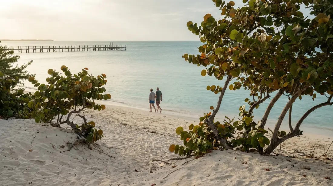
The harbor town itself has no strand, but three named beaches sit within about ten minutes of downtown.
Protestant Cay
The small island in Christiansted harbor carries a little beach that generations of visitors reached by a two-minute ferry from the boardwalk. The Hotel on the Cay closed in January 2025, and at last check its facilities and watersports were not operating, so treat the cay as a view from the boardwalk rather than a plan until that changes.
The Buccaneer's beaches: Mermaid, Grotto and Whistle
Three beaches lie within The Buccaneer resort property east of town, and they are open to the public. Mermaid is the main resort strand, Grotto sits below the Grotto Grill (kitchen roughly 11 to 4 daily at last check), and Whistle is the small one beyond. Resort-kept sand, calm northeast-facing water, and the option of lunch a few steps away make these the easiest serviced beaches on the Christiansted side; non-guests should expect resort pricing for chairs and food.
The Shoys
A calm, secluded crescent just east of town, reached through the Estate Shoys residential guard gate beside The Buccaneer: give your name, say you are going to the beach, park where indicated and walk the short path down. Soft sand, glassy mornings, and a small reef at the eastern end that holds stingrays, eels, conch and reef fish for easy snorkeling on calm days. No facilities, and seldom more than a few other people on the sand. Our Shoy's Beach House sits directly on this beach. Access details in The Shoys guide.
East End beaches
The dry, cactus-scrub end of the island, where the bays are sheltered by the northeast geography, the crowds thin out, and Point Udall catches the country's first sunrise. Facilities all but disappear out here; carry water and shade.
Chenay Bay
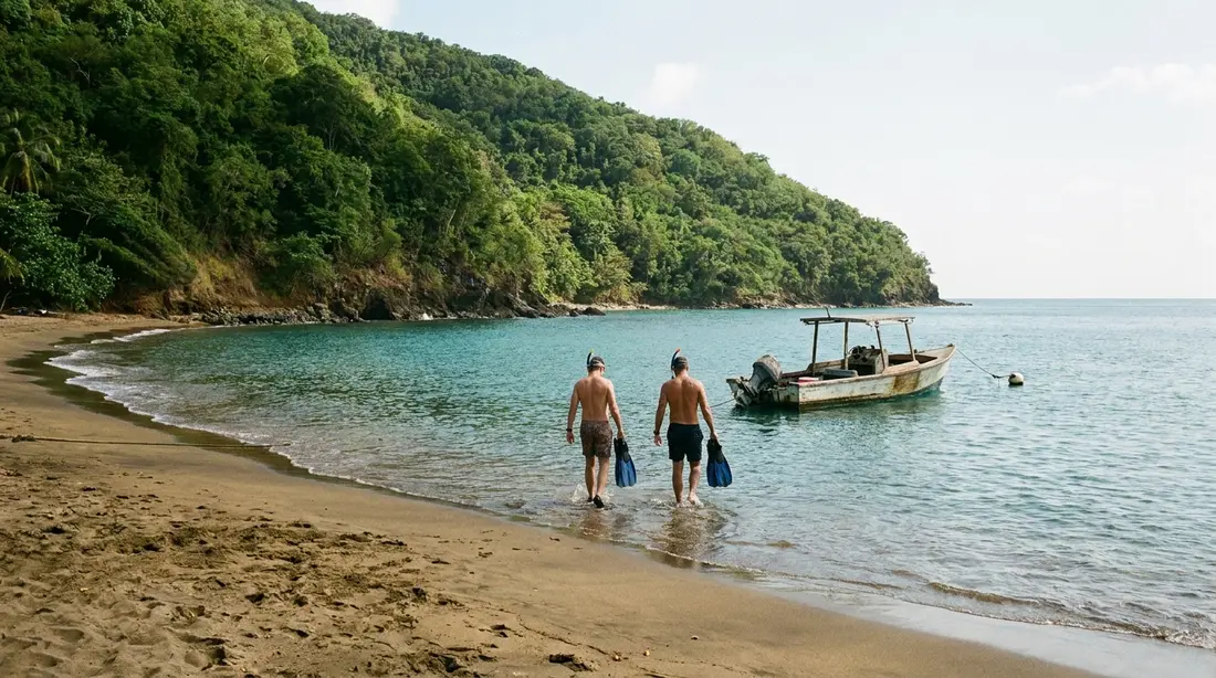
The standing family answer. The bay is protected, so the water stays shallow and calm a long way out; small children can wade, and snorkelers of any level can drift over the seagrass and patch reef looking for green turtles and southern stingrays, which are commonly seen. Kayaks and paddleboards are available when the beach concession is running, and the wind shelter makes this one of the island's best paddling bays. Facilities vary with the concession, so bring your own water in case. Minutes from our East End homes. See the Chenay Bay guide.
Green Cay and Tamarind Reef
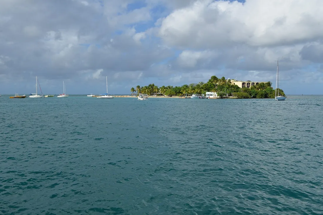
Two adjacent stops near Green Cay Marina and the Tamarind Reef Resort, a short drive east of Christiansted. The beach by the marina is small and sandy; the Tamarind Reef strand runs alongside the resort with reef-sheltered water in front. Public shoreline access applies as it does island-wide, with the resort's facilities reserved for its guests. The offshore islet of Green Cay itself is a national wildlife refuge and is not a landing spot.
Southgate and Coakley Bay
Between Green Cay and Chenay Bay, the St. Croix Environmental Association keeps the Southgate Coastal Reserve, whose beach is a sea turtle nesting shore first and a swimming beach second; walk it, keep off marked areas, and leave tracks in the sand undisturbed. Coakley Bay, the next reach of coast east, is a quiet local shoreline with no facilities. Both suit walkers more than swimmers.
Cramer's Park
The territorial public park beach on the East End's north shore, near Point Udall. Covered picnic pavilions, easy parking, soft sand and a gentle slope into calm water make it the most practical free family beach on this end of the island. On weekends and holidays it has a local, family-gathering feel that visitors are welcome to join. It is a park with posted hours, so check them before an early or late visit. Detail in the Cramer's Park guide.
Isaac's Bay and Jack's Bay
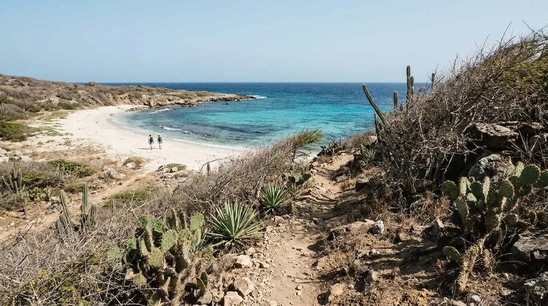
Two undeveloped white-sand beaches at the far eastern tip, inside a 301-acre Nature Conservancy preserve protected since 1999. You walk in: leave the car at the lot shortly before Point Udall, then take the cactus-lined trail down through dry scrub. Isaac's comes first, Jack's beyond it. Reef snorkeling on calm days, sea turtle nesting in season, and nothing provided out here, no water, no shade, no lifeguard, no trash cans. Wear real shoes for the trail, go early for the cool hours, carry everything in and out, and you will often have the sand to yourselves. The full walk-through is in the Jack's and Isaac's Bays guide.
South shore beaches
The windward-side strands, long and lightly visited, with more wave energy than anywhere else on the island. Swimmers should read conditions before going in; walkers get the coast to themselves.
Grapetree Beach
A narrow, extended ribbon of white sand with sea grape trees behind it, on the southeast shore between Point Udall's end of the island and the Divi resort area. No facilities, often a little surf, and most days almost nobody. Sunbathers, walkers and strong swimmers on calm days get more from it than families with small kids will. Covered in the Grapetree guide.
Turner Hole
The beach in front of the Divi Carina Bay Resort and Casino on the southeast shore. The resort sits behind the sand and the shoreline itself is public, so this is the one south-shore stop with food and drink steps away, at resort prices. Water conditions follow the south-shore pattern: fine on settled days, surfy when the wind has been working.
Ha'penny Beach
Also written Halfpenny, and known as Manchineel Bay, a name that doubles as its own warning: manchineel trees grow along this coast, and their sap and fruit are toxic, so shelter elsewhere. Ha'penny is a long, wild stretch of the mid-south shore favored by early-morning walkers, surfers, shoreline fishermen and dog owners, and its sand doubles as a turtle-nesting shore. No facilities; the access road is rough. Treat swimming with respect and check conditions first. See the Ha'penny guide.
Offshore: Turtle Beach on Buck Island
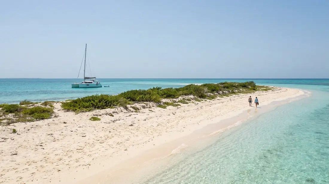
The one St. Croix beach you cannot drive to is regularly named among the most beautiful in the Caribbean. Turtle Beach is the powder-sand strand on the west end of Buck Island, inside Buck Island Reef National Monument, which President Kennedy established in 1961 and a 2001 expansion grew to 19,015 acres, almost entirely protected water. Access is by boat only: the five NPS-authorized operators sail half-day and full-day itineraries out of the Christiansted boardwalk and marinas nearby, crossings taking roughly 40 to 90 minutes, or private boats go with an NPS permit. A typical trip combines beach time with the marked snorkel trail that winds through elkhorn coral in the lagoon off the island's east side, one of a total of three such underwater trails in the country. Every acre of the monument is no-take; nothing gets collected, not a shell. Put the boat early in the week so weather can postpone rather than cancel. Details in the Turtle Beach guide.
Every major beach at a glance
Facilities on St. Croix are the exception, so the table leads with them. "None" means exactly that: bring water, shade and everything else.
| Beach | Coast | Facilities | Best for |
|---|---|---|---|
| Rainbow | West | Bar, food, rentals, chairs | Serviced beach day, calm swimming |
| Frederiksted | West | Town cafes and restrooms behind | Sea glass, pier snorkel, sunset |
| Dorsch | West | Cafe alongside | Shade, quiet swimming |
| Sandy Point | Southwest | None | Long walks, empty sand (check open days) |
| Cane Bay | North | Beach bar, dive shops | Shore snorkeling, the wall |
| Davis Bay | North | None public | Two-level snorkeling, scenery |
| Pelican Cove | North | Hotel properties behind | Palm shade, quiet sand near town |
| Columbus Landing | North | Restrooms, grills, picnic tables | Families, calm shallow water |
| Buccaneer (Mermaid/Grotto) | Northeast | Resort grill and chairs | Serviced day near Christiansted |
| The Shoys | Northeast | None | Calm seclusion, easy snorkel |
| Chenay Bay | East End | Concession varies | Kids, turtles, paddling |
| Cramer's Park | East End | Pavilions, picnic tables | Family picnics, easy swimming |
| Jack's and Isaac's | East End | None | Hike-in solitude, calm-day snorkel |
| Grapetree | Southeast | None | Seclusion, long walks |
| Ha'penny | South | None | Walkers, surfers, sunrise light |
| Turtle Beach, Buck Island | Offshore | None (boat trips provisioned) | The one boat day |
Seasonal conditions
The beaches keep their names all year, but the calendar changes what they do well, and three patterns cover most of it.
The Christmas Winds arrive around mid-December and hold to mid-March, bringing the year's coolest, driest, breeziest weather and the heart of high season. The price lands on the north shore, where winter swell can leave Cane Bay and Davis Bay choppy and cloudy several days running. When that happens the snorkeling moves to the Frederiksted pier or the sheltered northeast bays, and the west coast barely notices. Sandy Point keeps its open-season schedule, weekend days 10 to 4. Summer flips the pattern: the north shore runs calm for long stretches, the whole island gets warmer and quieter, and Sandy Point closes for nesting. Hurricane season spans June 1 to November 30, with August and September the statistical peak; the island carries on as normal through nearly all of it, and flexible bookings beat avoidance.
Sargassum, the drifting brown seaweed that moves through the Caribbean in irregular pulses, lands mainly on east- and south-facing shores when it arrives, and some years it barely arrives at all. The leeward west coast usually stays clear, and the sheltered northeast bays fare better than the open East End. It changes week to week, so if a far-east beach day matters, ask us what is on the sand that week. The water itself is swimmable in all twelve months.
Beach access and the law
The Virgin Islands Open Shorelines Act, on the books since 1971, declares that the public has the right to use and enjoy the territory's shorelines. The statute defines the shoreline as the area from the seaward line of low tide running inland 50 feet, or to the first line of continuously spreading natural vegetation, or to a natural barrier, whichever distance is shortest, and it prohibits obstructing public use within that zone. In plain terms: the sand belongs to everyone, on every beach on this page, including the ones fronting resorts and residential communities.
What the law does not grant is a right to cross private land to reach the shoreline. That distinction explains most of the access arrangements above: the guard gates at Estate Shoys and Judith's Fancy, the courtesy expected at Gentle Winds, and the resort grounds at The Buccaneer, Tamarind Reef and the Divi. Where this page says a beach is reached through a gate or past a resort, use the established route, give your name where asked, and the arrangement keeps working for everyone. Federal land plays by its own rules: Sandy Point's refuge schedule and Buck Island's boat-only, no-take terms override everything else on those two shores.
Two ground rules ride along island-wide. Glass containers are banned on National Park Service beaches in the territory and prohibited in the territorial parks; carry cans and bottles of the plastic kind everywhere, because broken glass in sand is forever. And every beach here is pack-in, pack-out: only the town and park beaches have trash service, and none of them have enough.
Safety on unguarded beaches
Assume no lifeguards. St. Croix's beaches are essentially all unguarded, which mostly matters on the windward shores: the south coast at Grapetree and Ha'penny carries real surf some days, and the north shore builds chop and current in winter swell. The west coast and the northeast bays are the forgiving water. Judge conditions from the sand before going in, keep kids inside their depth on the wind side, and when the water looks confused, make it a walking day.
The smaller hazards are the predictable tropical ones. Currents can run off Pelican Cove and along any reef gap, so snorkel within your ability and start against the current, never with it. Sea urchins live in the rocks and reef shallows; reef shoes solve them. Manchineel trees, marked at some parks and unmarked elsewhere, are toxic enough that you should neither shelter under one in rain nor handle the small green fruit. The sun is the injury most guests actually take home: the East End offers little shade and Sandy Point none at all, so carry your own. And on any quiet beach, keep valuables out of sight in the car, or better, out of the car. Reef-safe mineral sunscreen is the standard here; the USVI restricts sunscreens made with oxybenzone, and most of the snorkeling on this page is over living coral.
Turtle season rules
Three sea turtle species use St. Croix's beaches, and they shape the calendar. Leatherbacks, the largest turtles on earth, use Sandy Point for nesting from about March into July, which is why the refuge shuts fully between April 1 and August 31 and otherwise admits visitors only on weekends, 10 to 4. Green and hawksbill turtles nest on Buck Island, on Ha'penny's long sand, and along East End bays that include Jack's, Isaac's, Southgate and Coakley.
The rules for guests are short. Never disturb tracks, marked nests or digging turtles. Keep white lights, flashlights and phone flashes off nesting sand at night, because hatchlings orient by light. Give any swimming turtle room and let it surface to breathe. For daytime sightings, no luck is required: green turtles feed in Chenay Bay's seagrass and show up routinely over the reef at Cane Bay. For a sanctioned nesting-season visit, guided night walks with trained leaders are run by the St. Croix Sea Turtle Project and by the St. Croix Environmental Association's summer Turtle Watch; spots go early. The island's turtle story has its own page in the sea turtles guide.
Matching the beach to the day
The catalog compresses to a few reliable calls. For a swim-and-do-nothing day, go west: Rainbow with services, Dorsch or La Grange without. For reef without a boat, Cane Bay in the morning before the wind, with the Frederiksted pier as the swell-day backup; the full ranking lives in the snorkeling beaches guide. With small children, Chenay Bay, Cramer's Park or Columbus Landing, where the water stays shallow and two of the three have real facilities. For sand to yourselves, hike into Jack's and Isaac's, or catch Sandy Point on an open weekend between September and March. For the sunset, any west-coast beach; the sunset beaches guide sorts them. And if the week holds one boat trip, it is Buck Island. Cruise days crowd Frederiksted and Rainbow, so check the port schedule when you want the west end quiet.
Questions guests ask
How many beaches does St. Croix have?
Depends on where one beach ends and the next begins, but this page catalogs more than 25 named beaches and shoreline stops, and it is not exhaustive; small pockets of sand appear and vanish with the swell. The practical count is different: about a dozen beaches account for nearly all visitor days, and they are the ones in the comparison table above. A one-week trip comfortably samples four or five coasts' worth without ever driving more than 40 minutes.
Which beach has the calmest water?
The west coast as a group: Rainbow, Frederiksted, Dorsch and La Grange sit in the island's lee and stay flat nearly year-round. On the other side of the island, The Shoys and Chenay Bay are protected by the northeast geography and stay calm in most conditions, with Chenay the shallowest of all, which is why it is the standing answer for small children. Mornings are calmer than afternoons everywhere, because the trade winds build through the day.
Which beaches have restrooms and food?
Few, and knowing which changes how you pack. Food and rentals sit on or beside the sand at Rainbow, Cane Bay, Frederiksted, Dorsch, the Buccaneer beaches and Turner Hole. Public restrooms and picnic facilities exist at Columbus Landing and Cramer's Park. Everywhere else on the island, including the entire East End outside Cramer's, Sandy Point and the whole south shore, assume nothing: carry water, shade, snacks and whatever gear the day needs.
Are all St. Croix beaches public?
The shoreline is. Territorial law, the Open Shorelines Act of 1971, gives the public the right to use the beach zone from the low-tide line inland to the vegetation line or 50 feet, whichever is shorter, on every beach in the territory, including resort and residential frontage. The law does not create a right to cross private land to get there, which is why some beaches are reached through guard gates or resort grounds. Federal rules add their own layers at Sandy Point and Buck Island.
Are there lifeguards on St. Croix beaches?
Plan as if there are none anywhere, because that is effectively the case. The compensation is that the island's most popular swimming beaches are also its most sheltered: the west coast and northeast bays rarely produce conditions that punish a competent swimmer. The judgment calls come on the south shore and the winter north shore, where surf and current are real. Read the water before entering, swim with company at the remote beaches, and keep children inside their depth on the windward coasts.
When is Sandy Point open?
Saturdays and Sundays only, 10 in the morning to 4 in the afternoon, from September 1 until March 31, at last check. Between April 1 and August 31 it shuts altogether while the leatherbacks nest, and outside posted hours there is no public access in any season. The U.S. Fish and Wildlife Service adjusts hours and closures as the turtles require, so confirm current notices before the drive out. If your dates fall in the closed months, a guided summer Turtle Watch visit, at night, alongside researchers, is the single approved route onto the sand.
Which beach is closest to the villas?
Most of our homes sit in the Christiansted district and on the East End, so the sheltered northeast beaches come first: The Shoys, the Buccaneer beaches, Chenay Bay and Cramer's Park are all within about fifteen minutes of most of the portfolio, and Shoy's Beach House opens directly onto its beach. Guests at our East End houses have put Jack's and Isaac's Bays about five minutes away. From our Frederiksted-side villa, Rainbow, the town beach and Dorsch are the neighborhood beaches.
Beaches from our villas
Beach-by-beach knowledge is most useful when the first beach is close. Shoy's Beach House fronts The Shoys itself, the calm crescent described in the Christiansted section above. Sunset Sea-Clusion gives you the west coast's flat water and its sunsets within a few minutes of the door. Most of the remaining homes gather around Christiansted and the East End, nearest the sheltered northeast bays and the Buck Island boat docks; browse the East End collection or ask us which coast fits the week you have planned. Matching guests to coastlines is a large part of what we do, and it starts with which beach you want on the first morning.
Sources
Written from official and first-party sources, checked August 2026. Hours, prices and event dates change — confirm before you go.
In this guide
Stay nearby
Private oceanfront on the East End with a sandy, swimmable beach, pool, outdoor kitchen and a separate guest cottage. Sleeps twelve.
 The Cerulean5 bd · 5 ba · sleeps 12 · Christiansted
More in Beaches
Sources
8 references, listed in full at the end of this guide — official park, refuge, tourism-board and business sources, checked August 2026.